Infilled reservoir located by geophysics
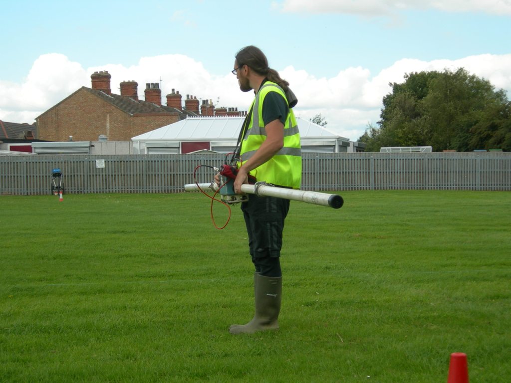
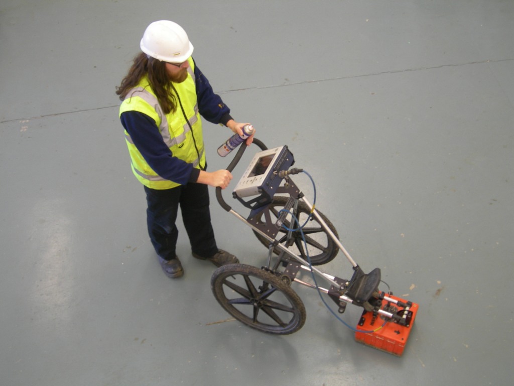
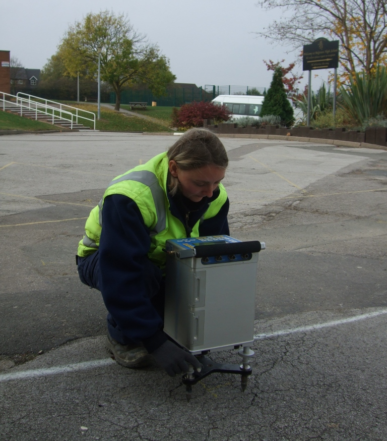
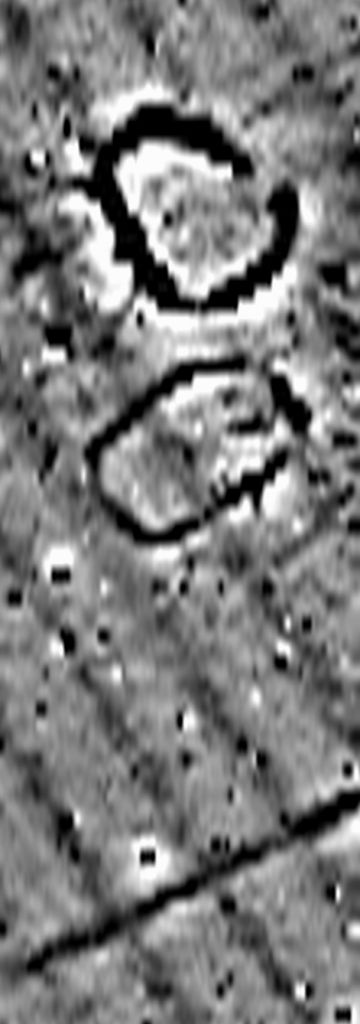
A combined EM, magnetic and GPR geophysical survey was used to accurately locate an infilled Victorian reservoir beneath a school playing field.

A combined EM, magnetic and GPR geophysical survey was used to accurately locate an infilled Victorian reservoir beneath a school playing field.

Bedrock variations at a site in the Lake District were mapped by a resistivity imaging geophysical survey.

Ground penetrating radar (GPR) was used to locate a well buried beneath a building.

Phase SI carried out a microgravity survey in an area of known mine workings to determine if there were any sub-surface voids that might affect a proposed school extension.

Phase Site Investigations recently carried out an archaeological geophysical survey of a 17km long pipeline route, utilising a magnetic gradiometer and RTK GPS system.