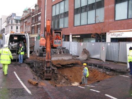
Collapsed road leads to geophysical survey
Microgravity and GPR were used to check for additional voids after a major city centre road collapse.

Microgravity and GPR were used to check for additional voids after a major city centre road collapse.
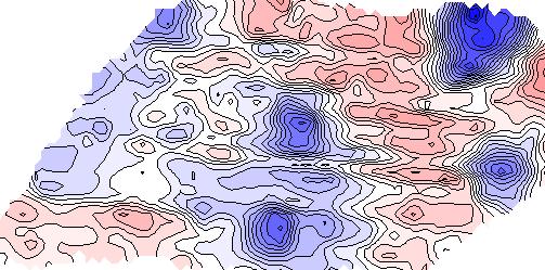
Microgravity, electromagnetics (EM) and resistivity imaging were used to successfully map solution features, geological variations and voids at a site in North Yorkshire.
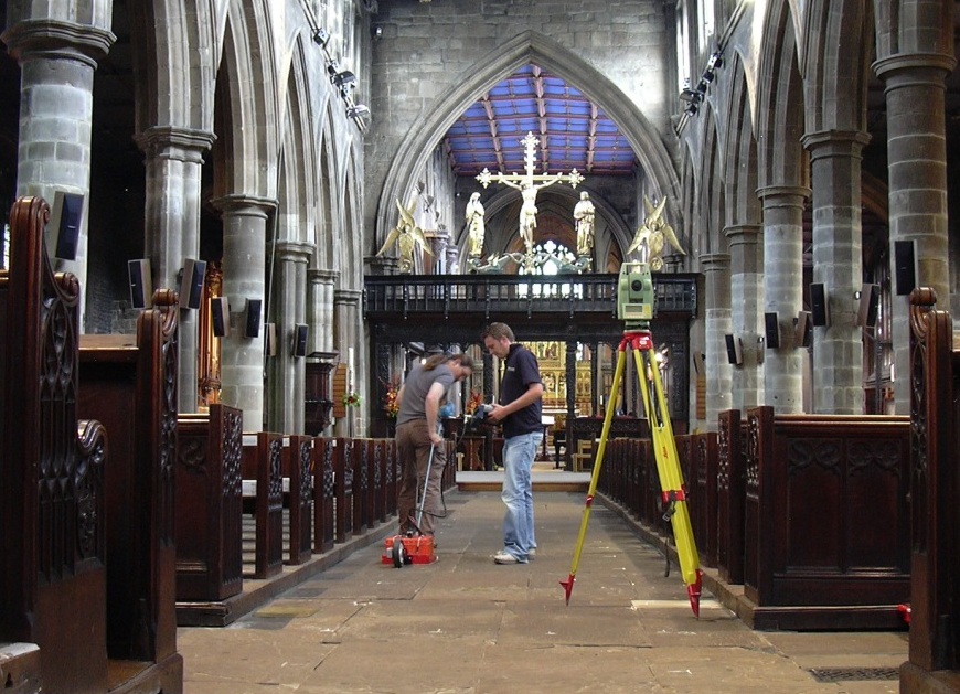
Phase SI recently carried out a ground penetrating radar (GPR) survey inside a cathedral to look for graves and tombs.
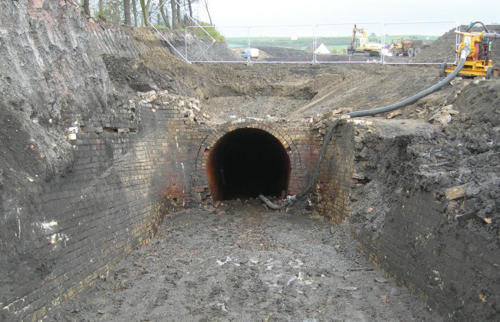
A geophysical survey detected a linear feature at a site in County Durham which turned out to be an adit for a Victorain coal mine.
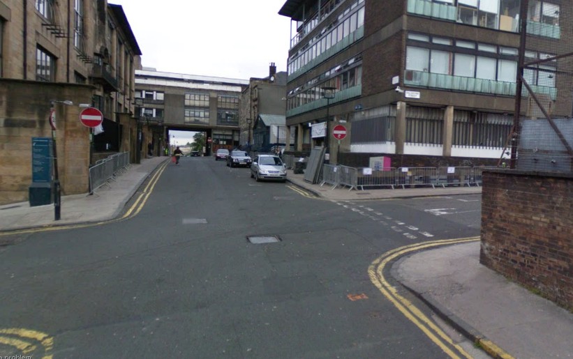
Phase Site Investigations recently undertook a detailed utility tracing survey of several major roads in Glasgow city centre.