Vacancies for archaeological geophysicists and trainees
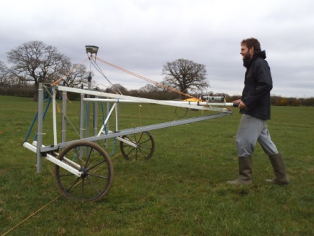
We are recruuiting for staff to join our archaeological geophysics department. Click on the header above for more details.

We are recruuiting for staff to join our archaeological geophysics department. Click on the header above for more details.

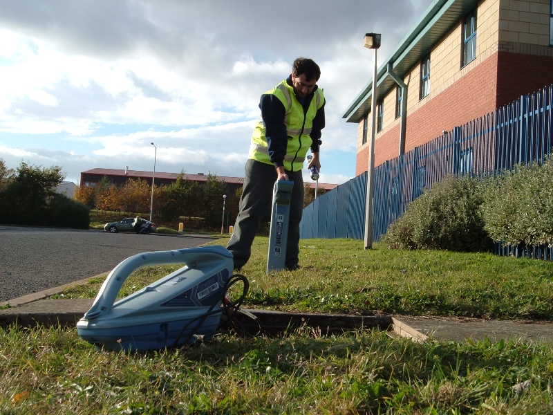
Utility surveyors wanted – all grades. Click on the header above or check out the Join Us page in our Contact section for more details.

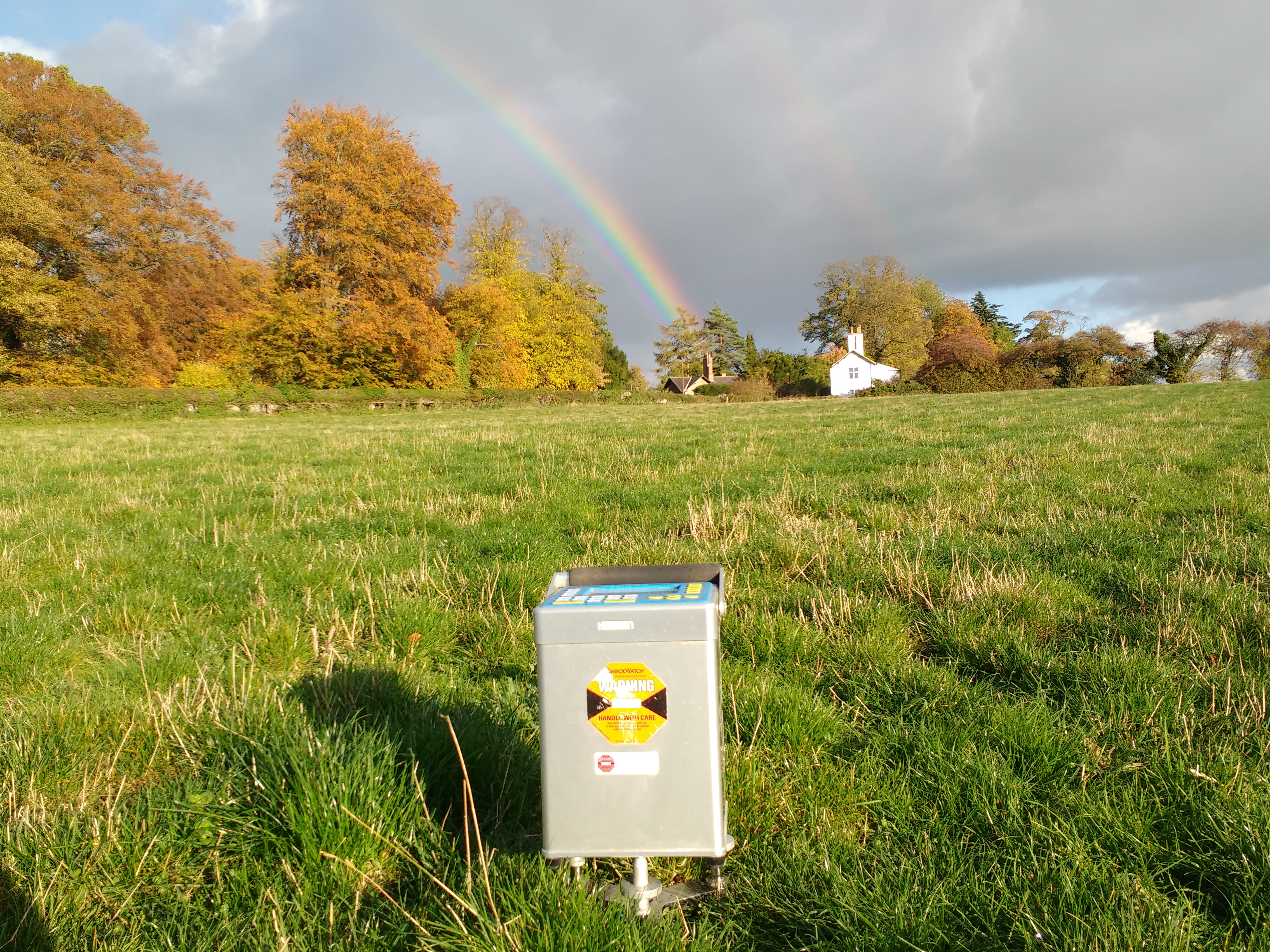
Voids in the underlying bedrock can be a major problem for developments. Using geophysics can help identify these features and significantly mitigate the associated risk and cost.
Phase Site Investigations Ltd
703A Whinfield Drive
Aycliffe Business Park
Newton Aycliffe
Co. Durham
DL5 6AU
01325 311 751
01325 310 819