Phase SI have geophysicists who specialise in engineering, environmental and archaeological geophysics. Our established reputation in these sectors means that we are asked to utilise a range of survey techniques which have a wide variety of applications on a diverse range of sites.
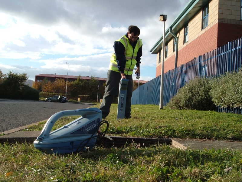
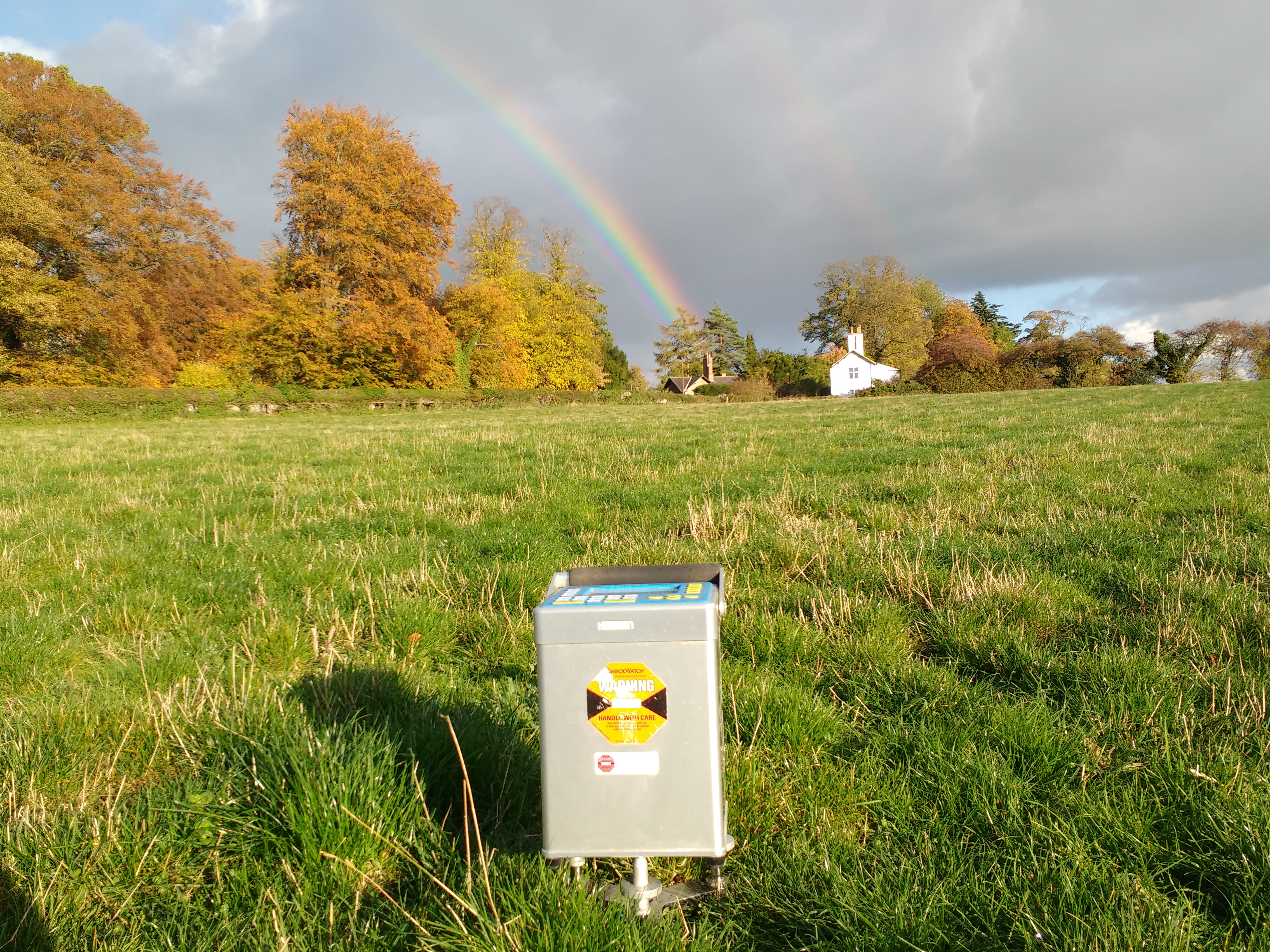
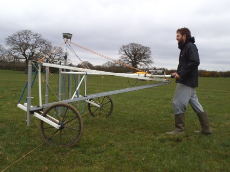
In the last 6 months we have utilised magnetic, electromagnetic and GPR technqiues to locate a variety of sub-surface hazards including mineshafts, buried foundations, wells and service ducts. We have carried out surveys as diverse large scale microgravity surveys to detect solution and mining features, resistivity imaging surveys to map the bedrock profiles and GPR surveys to locate reinforcement and structural features. We have carried out numerous archaeological surveys, predominantly using magnetics but we have also utilised earth resistance and GPR techniques on several sites.
As well as being able to utilise a wide variety of geophysical techniques we are able to combine this with topographic and building survey expertise and huge experience in all levels of buried services location / mapping.
We locate all of our surveys with either total stations or centimetre accurate GPS systems to ensure that the survey can be relocated and specific features targeted with the best possible accuracy. Here at Phase we are happy to discuss whether geophysics can be of benefit and if it can which technique will best suit your specific project requirements. Feel free to contact us if you require any additional information or would like to talk about a specific project.